
Professional Geotechnical Solutions
Get In TouchTransform Borehole Image Interpretation with AI & Computer Vision.
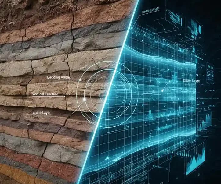
Subsurface analysis is critical for infrastructure, mining, and environmental projects but traditional borehole logging is slow, manual, and prone to interpretation errors. GeoVision AI changes this.
Built with advanced AI and computer vision, GeoVision AI automates borehole image interpretation, delivering accurate, consistent, and professional borehole log reports in a fraction of the time. The result: faster insights, improved reliability, and reduced project costs.
Interpreting borehole images involves detecting and quantifying features such as:
Traditionally, these require expert geologists to manually review images, a process that is slow, subjective, and difficult to scale.
With AI-driven image analysis, borehole geology automates the detection of key geological parameters, ensuring speed, consistency, and accuracy.
Upload borehole images and let GeoVision AI automatically detect, classify, and analyze key geological features.
Computer vision models identify lithology, fractures, bedding planes, and textures; removing human subjectivity.
Generate clear, standardized logs in industry-accepted formats, ensuring consistency across projects and teams.
Export results seamlessly into GIS, CAD, or geotechnical softwares for downstream analysis and reporting.
Eliminates interpretation variability, providing reproducible results for regulatory submissions and engineering decisions.
Support for common borehole imaging tools (FMI, OBI, acoustic, etc).
Computer vision models analyze and extract geological features.
Generate structured outputs with detected parameters, charts, and visual overlays.
Use results for exploration planning, drilling optimization, or academic research.
Faster reservoir characterization and structural mapping.
Improved geological modeling and mineral exploration.
Safer and more reliable subsurface stability assessments.
AI-powered tools for geological studies and training.
GeoVision AI is a product of Pineuron, Melbourne, VIC, Australia.

