
Professional Geotechnical Solutions
Get In Touch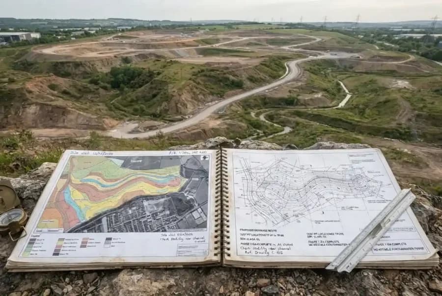
GeoDeskStudy AI is an intelligent geotechnical desk study platform that automates the collection, review, and analysis of site-related information before field investigations begin. By examining geological maps, aerial imagery, historical reports, environmental records, topographic data, and publicly available datasets, the platform provides a comprehensive understanding of site conditions and potential ground-related risks.
The result is a faster, more consistent, and evidence-based desk study process that helps engineering teams make informed decisions during the earliest stages of project development.
Every successful geotechnical project begins with a thorough understanding of site conditions. However, gathering and reviewing information from multiple sources can be time-consuming and resource-intensive.
Engineers often need to analyze geological maps, historical investigations, aerial photographs, environmental records, planning documents, and other datasets scattered across different systems. Missing critical information during the desk study phase can lead to unexpected site conditions, inadequate investigation programs, project delays, and increased costs.
As project timelines become tighter and data volumes continue to grow, conducting comprehensive desk studies efficiently has become increasingly challenging.
GeoDeskStudy AI streamlines the desk study process by automatically collecting, organizing, and analyzing available site information from multiple sources. The platform identifies relevant geological, environmental, topographical, and historical factors that may influence project outcomes.
Using intelligent data analysis, the AI highlights potential risks, summarizes key findings, and generates structured site review reports that support investigation planning and engineering decision-making.
By reducing manual research efforts and improving information consistency, GeoDeskStudy AI helps teams gain a clearer understanding of site conditions before investing in fieldwork.
Aggregates geological, environmental, topographical, and planning data from multiple sources.
Analyzes previous geotechnical reports, borehole records, and historical site information.
Identifies geological features, environmental constraints, and potential ground-related risks.
Reviews historical and current aerial imagery to identify site changes and development history.
Highlights potential hazards, constraints, and areas requiring further investigation.
Generates structured reports with findings, risk summaries, and recommendations for project teams.
Users provide project location details, site boundaries, and project objectives.
The platform gathers available geological, environmental, planning, and historical information relevant to the site.
GeoDeskStudy AI reviews the collected data to identify significant site characteristics and potential risks.
The AI evaluates geological features, land use history, environmental constraints, and previous investigations.
Key observations, risk indicators, and investigation recommendations are generated automatically.
A professional desk study report is produced for engineering review and project planning purposes.
The quality of early project decisions depends heavily on understanding site conditions before investigations and design work begin. Incomplete or overlooked information can result in unexpected ground conditions, increased project costs, and avoidable delays.
GeoDeskStudy AI enables engineering teams to quickly develop a comprehensive understanding of site characteristics while reducing the time spent on manual research. By consolidating information from multiple sources and identifying potential risks early, the platform supports more effective project planning and investigation strategies.
The result is improved decision-making, reduced uncertainty, and greater confidence before field activities commence.
GeoDeskStudy AI is designed for organizations responsible for site assessment, project planning, and geotechnical investigations, including:
The platform helps teams gain a clear understanding of site conditions before committing significant time and resources to investigations and design activities.
Develop a preliminary understanding of site conditions before detailed investigations begin.
Identify potential geological and environmental constraints that could impact project delivery.
Review historical land use, site conditions, and development risks prior to acquisition or construction.
Support the design of more targeted and cost-effective site investigation programs.
Identify environmental constraints and historical site activities that may require further assessment.
Review geological settings and historical site information to support exploration and development planning.
Standardize desk study reviews across multiple projects while maintaining consistency and quality.
GeoDeskStudy AI is a product of Pineuron, Melbourne, VIC, Australia.

