Professional Geotechnical Solutions
Get In Touch
GEOCONSOL is a Melbourne-based surveying solutions provider specializing in LiDAR (Light Detection and Ranging) technology. We deliver high-accuracy, cost-effective, and time-efficient 3D data capture services for the construction, mining, transport, geospatial, forestry and infrastructure industries.
With CASA-certified pilots and state-of-the-art UAV-mounted LiDAR sensors, we provide reliable spatial data for every stage of a project lifecycle, from feasibility and design through construction monitoring and asset management.
At GEOCONSOL, we provide a tailored suite of advanced geospatial services designed to meet the evolving needs of our clients while upholding the highest safety and quality standards.
Achieve sub-centimeter accuracy for detailed topographic mapping, Digital Terrain Models (DTMs), and Digital Surface Models (DSMs) to support design, planning, and analysis.
Conduct regular site scans for precise volumetric analysis, earthworks tracking, cut-and-fill calculations, and construction progress verification, enabling data-driven project management.
Perform efficient surveys of rail, road, and utility corridors with minimal disruption, ensuring comprehensive spatial data capture for planning and maintenance.
Validate constructed infrastructure against original design models to ensure compliance, quality assurance, and documentation accuracy.
Integrate LiDAR data with BIM and GIS platforms to support informed decision-making throughout the infrastructure lifecycle, from operation to maintenance.
Analyze site conditions to detect vegetation encroachment, ensure clearance compliance, and support environmental regulatory requirements.
GEOCONSOL employs a suite of advanced hardware and software technologies to ensure precise, efficient, and survey-grade deliverables for every project in collaboration with Swinburne University.
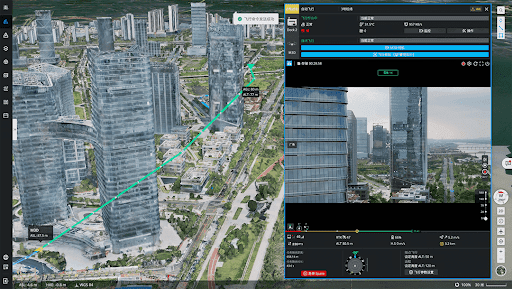
We utilize mid-to-high-range LiDAR systems including DJI Zenmuse L1 and DJI Matrice 300 RTK, integrated with high-precision GNSS/IMU units to capture high-density spatial data with sub-centimeter accuracy.
Accurate georeferencing is achieved through RTK and PPK workflows. Ground control points (GCPs) and base station networks are established to ensure consistent, survey-grade accuracy across all deliverables.
Our post-processing workflow incorporates:
We provide deliverables in a range of interoperable formats, including:
All deliverables are quality-checked and aligned to project-specific coordinate systems and accuracy specifications.
GEOCONSOL has certified resources to provide the above services including but not limited to: